|
A part of Bihar was separated and formed into a new state Jharkhand on
November 15, 2000. Click on Jharkhand
for more information.
Bihar is lying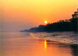 approximately between 21o58'10'' and 27o31'15''N
latitudes and 82o 19'50'' and 88o17'40''E longitudes
in the lower and middle Gangetic region extending 483 Km from west to
east. This state embraces some of the most fertile lands of India. Bihar,
squeezed in between West Bengal, Jharkhand and Uttar Pradesh, reaches
up to the Himalayas in the north and is completely land locked. Bihar
is bounded on the north by Nepal, on the south by Jharkhand, on the east
by West Bengal and on the west by Uttar Pradesh.
approximately between 21o58'10'' and 27o31'15''N
latitudes and 82o 19'50'' and 88o17'40''E longitudes
in the lower and middle Gangetic region extending 483 Km from west to
east. This state embraces some of the most fertile lands of India. Bihar,
squeezed in between West Bengal, Jharkhand and Uttar Pradesh, reaches
up to the Himalayas in the north and is completely land locked. Bihar
is bounded on the north by Nepal, on the south by Jharkhand, on the east
by West Bengal and on the west by Uttar Pradesh.
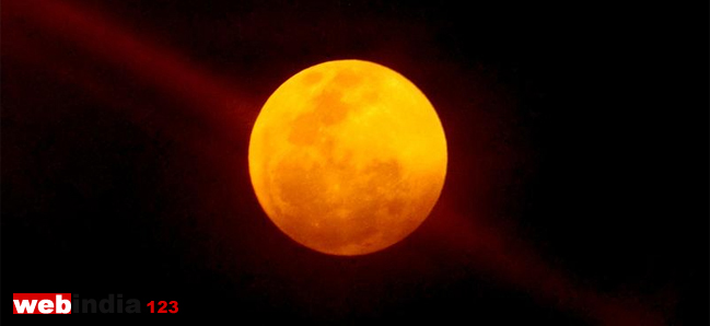
Bihar gets the worst of the cold and the worst of the heat and
plenty of floods. Northern portion of Bihar is almost entirely a level tract,
while the south is wooded and hilly. Bihar has a number of rivers, the most
important of which is the Ganga. The river Ganga flows right across it from west to east.
North Bihar is extremely fertile, the land
being watered by the rivers Sarayu, Gandak and Ganga. The other rivers are the
Sone, Poonpoon, Falgu, Karmanasa, Durgawati, Kosi, Ghaghara etc.
|