|
|
Sunday, June 21, 2026
|
|


|
|||
This picturesque little area is bounded on the south-west by the Arabian sea, on the north by river Ponniyar and on the other sides by a stretch of calcareous hills of medium height which are linked to the ghats by a series of wooden hillocks. The district consists of 3 entities viz, Mahe town proper, the small enclave of Kallayi and of Naluthura. Mahe lies almost parallel to Pondicherry, 653 km away on the west coast of the Indian peninsula. Mahe and its villages covering 9 sq km, is situated on the Malabar coast in Kerala, between Badagara and Thalassery. Mahe used to be locally called Mayyazhi and it is situated at the side of an estuary of the river now known as Mayyazhipuzha. This district is entirely rain fed and is covered by typical red laterite soil. There is no forest area in this district. The coast line here lies between the richest fishing belt between Ponnani and Mangalore on the west coast. Mahe is at the centre of a prawn group which stretch from Quilon to Mangalore. The major marketing centres in and around Mahe are Mahe, Cannanore or Kannur (24kms), Kozhikode (58 kms) and Tellicherry.
Industrial units have concentration only in Pondicherry and Karaikal. The only large scale industry functioning in this district is the Cannanore spinning and weaving mills. When India attained Independence from the British on 15 th August 1947, there were similar freedom struggle movements in Mahe also. Though in 1948, the Union Flag was hoisted over the administrative Office in the presence of thousands of people, Mahe was handed over to the Government of India de-facto only on 1.11.1954, when the struggle intensified during 1954, with sporadic incidents of violence. The Dejure transfer took place on 16 th August 1962. |
News |
| more news |
Picture Gallery
|
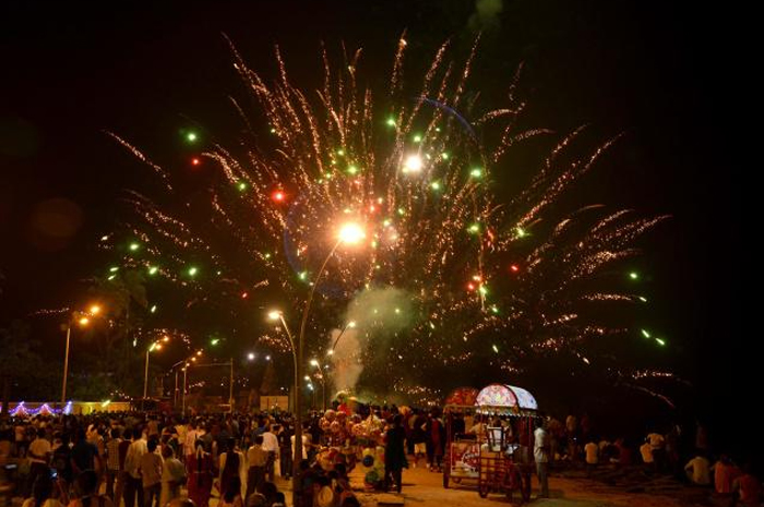
Forthcoming Festivals |
|||||||
|
|||||||
| Puducherry Festival Calendar | |||||||
| Last Updated on : 07 June 2025 |