Saturday, April 20, 2024
Jammu and Kashmir
Area    : 2,22,236 sq km
Capital : Srinagar
Districts         : 22
Language : Urdu , Kashmiri, Dogri, Paharim, Balti, Ladakhi, Punjabi , Gujari and Dadri
Population : 12,548,926 (2011census)
Literacy : 68.74 % (2011 census)
State Bird : Black necked Crane
State Animal : Hangul
State Flower : Lotus
State Tree : Chinar
Jammu and Kashmir map

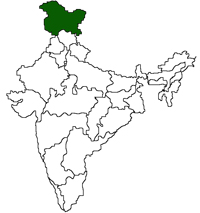
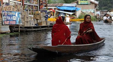
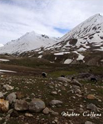
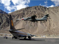
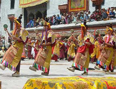
Jammu and Kashmir is the sixth largest state in India including the area occupied by Pakistan and China. Jammu and Kashmir, the northernmost state of the Indian union consists of three divisions -Jammu, Kashmir Valley and Ladakh. It has two capitals- Jammu, the winter capital and Srinagar, the summer capital. The state is almost mountainous with stretches of valleys and some mountain lakes. Jammu and Kashmir shares a border with the states of  Himachal Pradesh and Punjab to the south and internationally with the People's Republic of China to the north and east and the Pakistan-administered territories of Azad Kashmir and Gilgit - Baltistan, to the west and northwest respectively...read more

  Srinagar
  Leh
  Jammu
  Anantnag
  Baramula
  Kargil

Travel & Tourism
The natural beauty of the valley of Kashmir is well known widely and has deservedly won high praise from travelers, since time immemorial.....Read More
About Jammu

One of the largest states of the Indian union, Jammu and Kashmir covers an area of 2,22,236 sq km.

History District Map
Economy Government Directory
Land Classifieds
Festivals of Jammu  
Colourful Jammu & Kashmir

The colorful life of the Kashmiri people is reflected on the Jammu & Kashmir Festivals. Read More

Festivals
Festival Calendar