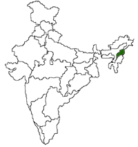
| Nagaland, the16th state of the Indian Union was born on
1st Dec1963. It is bounded by Assam in the west and north
Tirap district of Arunachal Pradesh in the north east, and Manipur in
the south. On the east it shares India's international boundary
with Myanmar, Burma. The state is divided into Eight districts : Kohima,
Phek, Mokokchung, Wokha, Zunheloto, Twensang, Dimpur and Mon. The terrain
ishilly, rugged and mountainous. The highest peak is Saramati in the
Twensang district which is 3840 metres above sea-level. The average
height of the peaks is between 900 and 1200 metres. |


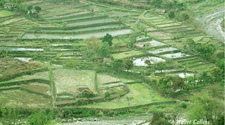
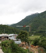
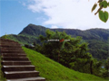 The main rivers that flow through the state are Dhansiri,
Doyang, Dikhu, Tizu and Melak. There is no waterfall
in Nagaland. The only lake well known is Lacham to
the east of Mehiri. The hill sides are covered with
green forests. In the Angami region, the terraced
fields are a feast to the eyes.
The main rivers that flow through the state are Dhansiri,
Doyang, Dikhu, Tizu and Melak. There is no waterfall
in Nagaland. The only lake well known is Lacham to
the east of Mehiri. The hill sides are covered with
green forests. In the Angami region, the terraced
fields are a feast to the eyes.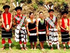 Colourful Nagaland
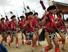 Time to Enjoy....