Tuesday, March 19, 2024
Telangana
Area    : 44,340 sq mi
Capital : Hyderabad
Districts         : 10
Language : Telugu and Urdu
Population : 35,286,757
Literacy : 67.02 % (2011 census)
State Bird : Pala Pitta (Indian roller)
State Animal : Krishna Jink (Blackbuck)
State Flower : Tangedu (Senna Auriculate)
State Tree : Jammi Chettu (Prosopis cineraria)
Telangana map

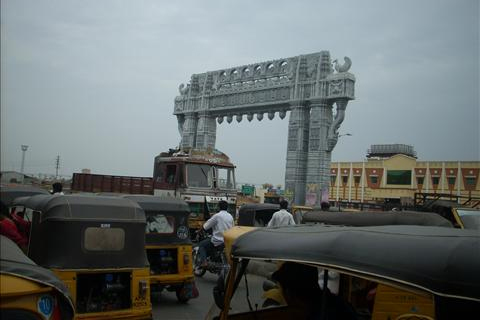
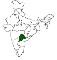
Telangana, one of the main regions of Andhra Pradesh, formed the 29th state of India on June 2nd 2014 with 10 districts- Khammam, Nalgonda, Warangal, Karimnagar, Medak, Nizamabad, Aadilabad, Mahbubnagar and Hyderabad districts. The existing Andhra Pradesh state is left with 13 districts - nine districts of coastal Andhra, and four districts of the Rayalaseema region. Hyderabad, one of the 10 districts of Telangana, will be the common capital of the two states for 10 years...read more


  Adilabad
  Nizamabad
  Karimnagar
  Hyderabad
  Medak
  Warangal
History

Telangana region relate to the Telugu speaking areas located in the north of united Andhra Pradesh, which was earlier a part of the former princely state of Nizam's Hyderabad. Telangana existed as Hyderabad state from 1950 to 1956. It was merged with Andhra State in 1956.  Following are the major events in the history of Telangana since 1948..read