Friday, March 29, 2024
Megalaya

Area    : 22,429sqkm
Capital : Shillong
Districts         : 7
Language : Khasi, Garo and English
Population : 2,966,889 (2011 census)
Literacy : 74.43% (2011 census)
State Bird : Hill Myna
State Animal : Clouded Leopard
State Flower : Lady Slipper Orchid
State Tree : Gamari
Meghalaya
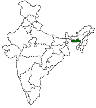
Meghalaya was inaugurated as an autonomous state on April 2,1970. It was declared as a state of the Indian Union on January 21, 1972. Meghalaya is situated in the north-eastern region of India, between the Brahmaputra valley in the north and the Bangladesh in the south. 
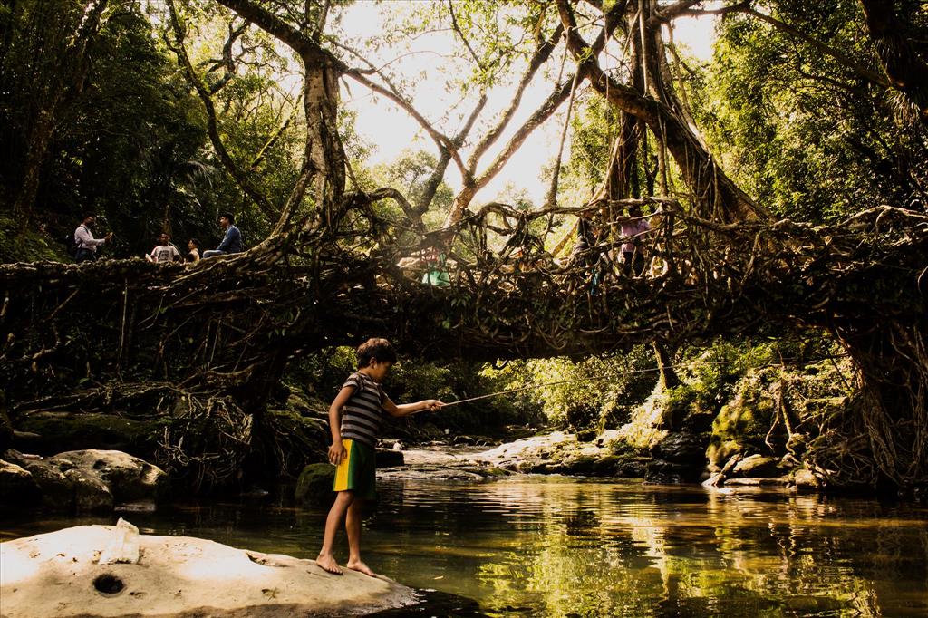
The state of Meghalaya (the abode of clouds) is geographically known as the "Meghalaya Plateau" or the "Shillong Plateau". The area is made of the oldest rock-formations. Meghalaya consists of the Garo, Khasi and Jaintia hills along with their outliers formed by the Assam ranges...

     Shillong
    Willamnagar
    Jowai
    Tura
    Nongstoin
    Nongpoh
    Baghmara
 
The 'abode of the clouds' is the appropriate meaning of the 'Meghalaya'.
About Meghalaya
How to Reach
Tourist Information Centres

Meghalaya Plateau's elevation varies between 150 meters to 1961 meters above sea level.

History Jobs
Government Directory
Classifieds
Districts    
Colourful Meghalaya
 

The people of Meghalaya observe some important festivals throughout the year.

Festivals
Festival Calendar
Time to Enjoy....
 

Dances are held at an open ground or premises of felling sad and public places.More...