 |
 |
Click on the above
map to enlarge
|
|
| Area |
: 3702sq.km |
| Districts |
: 2 |
Goa
is the smallest state of the Indian Union. It was part of the Union Territory
of Goa, Daman and Diu. It became the twenty fifth state in the Indian
Union on May 30th 1987 while Daman and Diu remained as union Territory. Situated
between Karnataka and Maharashtra, Goa is bounded on the north by the
Terekhol river, surrounded on the south and east by Karnataka while on
the west is the Arabian sea. Its ancient namewas Gomantaka or Gomanchala.
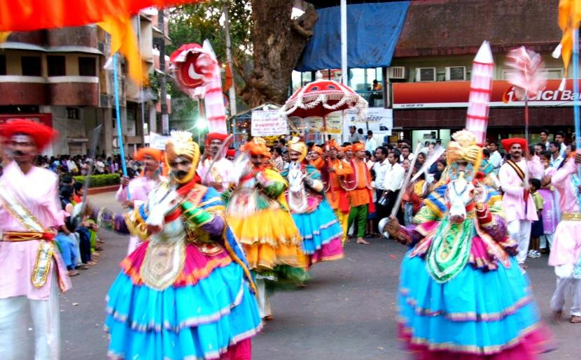
Goa with its long beaches along the Arabian sea is a principal touristresort.
Goa has a hilly terrain especially on its eastern side where lies the
southern ends of the Sahyadri range. These mountains after skirting a
considerable portion of the northern, eastern and southern boundaries
branch off westwards across the territory with many spurs and ridges.
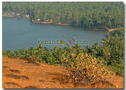
The most picturesque region is located in the lower basin of the
Mandovi and Zuari rivers which join to form a bay. There are about half
a dozen islets between the estuaries of these rivers.
Forests
About one fourth of the area of Goa is under forests and the same originates
from Archaean rock
formations which are very thick. The soil is murum on the slopes. Many
commercial tree species thrive in the well-aerated soils at the foothills
where the murum is mixed with
humus to form a loamy soil, where the growth is often thick and high.
In the valleys where perennial natural water springs occur, there are
plantations of areca nut. In Goa, forests are confined to the western
Ghat foot-hill slopes mainly in the talukas of Sangium, Satari,
Canacona and Quepem and to a lesser extent in the talukas of Ponda, Pernem
and Bicholim. The coastal talukas of Tiswadi, Bardaz and Salcete had no
forests. The entire land is covered with
verdant forest, coconut, cashew-nut and mango tree groves, interspersed
with extensive paddy fields for cultivation of rice offers a marked and
refreshing contract to the arid hinterland. The port of Marmugao situated
on the southern side of Zauri river is one of the best natural harbours
on the west coast of India and can shelter larger ocean liners. Teak of
good quality is one of the products of the forests of Goa which also produce
bamboo. Eucalyptus trees and oil are among the other products
Climate
Goa's
climate is generally moderate although humidity is high but there are
cool months in winter and around October and weather turns good. Goa has
a heavy rainfall during the monsoon months.
Rivers
The major west-flowing rivers that crease the territory are Mandovi, Zauri,
Tere Khol, Chapora and Betul. The total navigable length of these
rivers, which form the waterways by which Goa's main export commodity
iron and manganese ore is transported to the Marmugao harbour, is 253km.
The Marmugao harbour is virtually the confluence of the Mandovi and Zuari
rivers. The coast is full of creeks and estuaries formed by these rivers
which provide a good shelter for the fishing crafts. Estuaries of these
rivers are rich in marine fauna.
Courtesy for Pictures
Dr Mohd Tabrez Alam
Anaesthesiologist
Nagaland
|