|
|
Saturday, April 20, 2024
|
|


|
|||
|
Pondicherry town and its villages covering 293 sq.km is surrounded by south Arcot District in Tamil Nadu. The district presents more or less a flat land. There are no hills or forests. The main soil types are red ferrallitie black clay and coastal alluvial. There are 2 main drainage basins, the one of gingee river which crosses it diagonally from north-west to the south-east and the other of Pennaiyar which forms the southern border. There is a metre gauge railway line between Villupuram and Pondicherry. Pondicherry is an important trading port. The principal trade at this port consists mainly of imports of wheat, fertilizers and cement. The percentage of cultivable area to total area and percentage irrigated area to total cultivable area are 78.62 and 54.27 respectively. This district cultivate mainly rice, sugarcane, coconut, betel vines, millets etc. In some parts cotton and also flowers such as Jasmine, rose, marigold etc are grown.
The Li products of food grains such as straw etc. are used for feeding the cattle. They also help to produce farm yield manure. There is a co-operative milk supply society and also a dairy. The common species of poultry are fowls and ducks, cattle shows, calf rallies, milk yield competition and fodder yield competition are held every year. The Bahour and Oussoudu lakes are the 2 biggest ones in Pondicherry district for fishing purposes. The varieties which appear in fairly large numbers are ribbon fish, sardine and silver belly, sharks, etc. The flying fish fishery which lasts from May to July is the most important seasonal fishery of the district. Main items of exports include Groundnut, rice, fish, Hides and skin, handicrafts, etc. Major industries in the area are Swadeshi cotton mills Ltd, Sri Bharathi mills, and Anglo-French textiles. Small scale industrial units are mainly engaged in the manufacture of furniture, dry cells, cosmetics, steel utensils, cement products, etc. cottage industrial units include pottery, carpentry, blacksmith, basket making, dying, pipe making, cane works, hand made paper, bathi making embroidery etc. Tourist Attractions in Pondicherry Aurbindo Ashram, Auroville Ashram, The Statue of Dupleix, Promenade, Chunnambar Resort, French War Memorial, 19th Century Light House , Ananda Ranga Pillai Mansion , Park Monument (Aayi Mandapam), Ariyankuppam ( Arikamedu) are major tourist attractions in Pondicherry. |
News |
| more news |
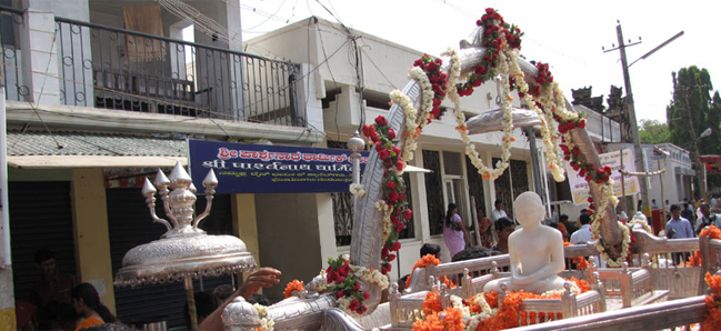
Picture Gallery
|
Forthcoming Festivals |
|||||||||||||||||||||
|
|||||||||||||||||||||
| Puducherry Festival Calendar | |||||||||||||||||||||
| Last Updated on : 02 March 2018 |