|
|
Friday, April 19, 2024
|
|


| |||
Karaikal town and its villages covering 160 sq.km is surrounded by Tanjavur district of Tamil Nadu. Karaikal lies about 150 km south of Pondicherry, the capital of the territory. The district is situated in more or less a flat land. There are no hills or forest in this district. This district consists of almost entirely coastal alluvial soil which is highly suitable for cultivation of paddy and pulses. The total geographical rural area of the district is 14035.56 hectares. The percentage of cultivable area to total area and percentage of irrigated area to total cultivable area are 84.92,82.81 respectively. Pulses, cotton, chilies, coconuts, ground nuts, vegetables and sun flower are the other popular items grown in the district. Karaikal is a good fishing centre with the following ten marine fishing villages spread along the coast. They are Mandabathur, Kalikuppam, Akkampettai, Kottucherrymedu, Kasakudymedu, in Karaikal municipal area, Kilinjalmedu, Karaikalmedu, in Tirumalairayam Pathinam commune, Karakalchery in Neravy commune, Keezhaiyur Pattincacherry and North vanjore.
Fresh and dried fish are exported powers are also exported. Good quality chanks (conch sells) are also available here in the sea of Karaikal. The only large scale industry in this district is a textile unit name M/s Soundararaja Mills Ltd, located in Nedungadu. Handloom weaving is also prevalent units too. There is an industrial training institute located in Tirumalairayam Pathinam. Tourist attractions in Karaikal Karaikal Beach, Thirunallur Temple, Ammaiyur Temple, Masthan Saheb Dargah, The French Cemetery are some of the tourist attractions in Karaikal |
News |
| more news |
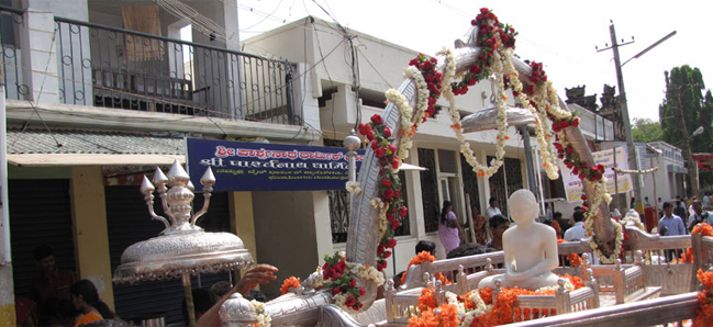
Picture Gallery
|
Forthcoming Festivals |
|||||||||||||||||||||
|
|||||||||||||||||||||
| Puducherry Festival Calendar | |||||||||||||||||||||
| Last Updated on : 02 March 2018 |